- Australia,
- Victoria,
- Colac Otway Region


494km

7434m

73% Unpaved

Some loose gravel & rough sections but mostly nice riding

Plenty of resupply (check notes), patchy reception at times (take gps tracker)

40mm
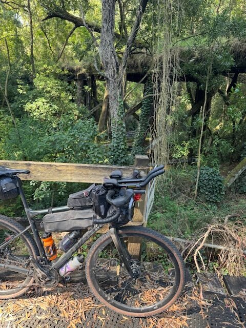
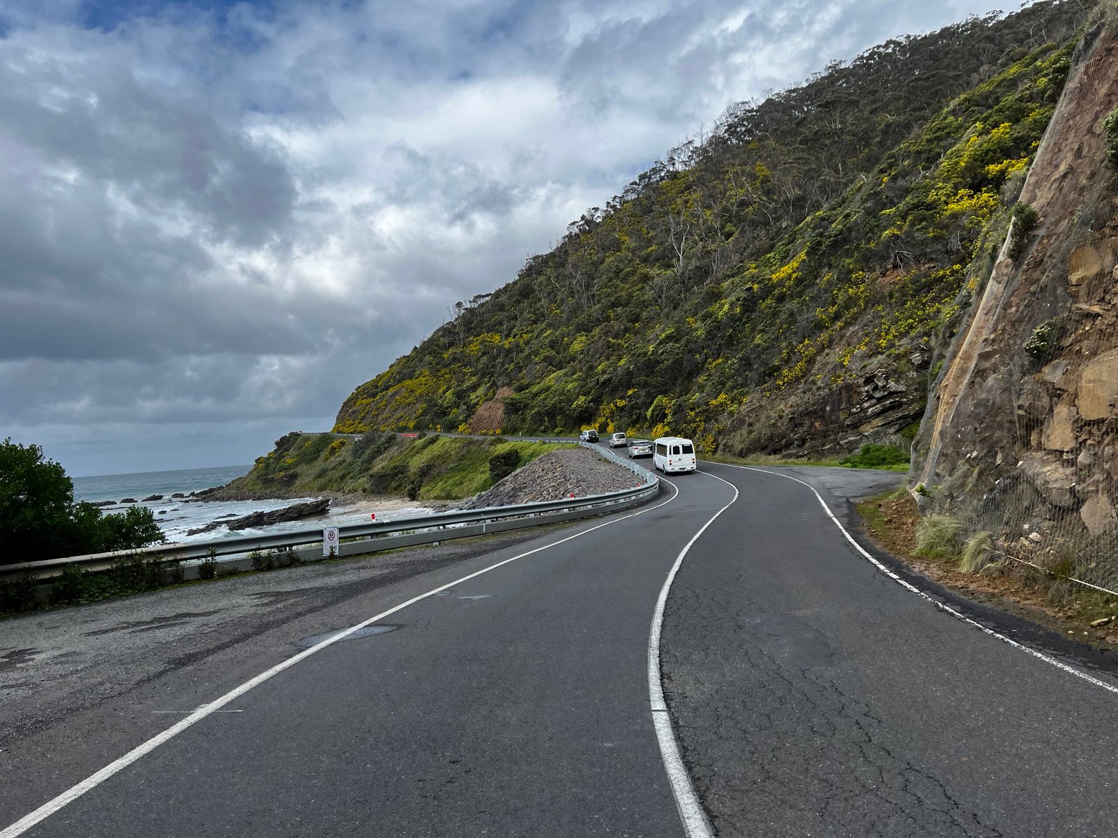
The plan was to complete a 500km (approximately) loop, incorporating some of the best gravel roads in the Otways, while also providing plenty of supply restock options in towns along the way. Additionally, we aimed to feature parts of the Great Ocean Road without spending too much time riding on it, as it can become very busy.
There’s minimal time spent on technical trails, but given the terrain of the Otways, there’s a fair amount of climbing. Most of the climbs are steady and gradual, with a few tough double-digit sections.
It’s worth noting that you may need to walk through a few very short sections of the Timboon Rail Trail, and Old Coach Road (coming into Apollo Bay) is occasionally closed. However, you can usually still ride through with caution. Also, Gentle Annie Track is far from gentle and can be quite challenging.
There’s a slight detour off Aire Valley Road (at the 298km point before the Californian Redwoods) if you want to check out Hopetoun Falls. I rode the full course in late January 2024, and the gravel was loose and rough in places, but most of the Otways hold up pretty well all year round.
The section along the Great Ocean Road out of Port Campbell can get very busy, so take care. It’s worth starting early in the morning to avoid the cars, and the cliffs are particularly spectacular at that time of day.
With the high rainfall in the Otways, be prepared for any weather conditions, and with a maximum elevation of over 600m, there can be a significant temperature difference from the coast to the top of the ranges. Mobile reception was patchy at times, but it seemed to be present each time I checked. However, it’s always a good idea to carry other means of communication just in case.
There are obviously some shortcuts available at various times if time is a factor, which wouldn’t significantly diminish the scenery of the ride (e.g., skipping the descent to Apollo Bay and taking Turtons Track, or continuing along Mt Sabine-Benwerring Rd to Seaview and skipping Deans Marsh, or continuing on Bambra-Boonat Rd and taking No. 2 Road to Anglesea).
“A huge thank you to Richard for submitting this route to us!
Richard is a fantastic ambassador to cycling and a huge advocate for mental health, you can find him on instagram at @2wheelbeing“
Terms of use: Cycle this route at your own risk. Check local weather, conditions and closures before departure. Adhere to land use rules, carry provisions, safety gear and respect the trail. This information is intended to be used as a planning resource; accuracy is not guaranteed. BIKEROUTES.com.au are not liable for any incidents during or following this route.
Getting There
Melbourne > Torquay approx. 1hr 20min
Melbourne > Waurn Ponds Station approx. 1hr 20min & 15km ride to the start
“The course was designed for a start and finish from Torquay but those travelling via Vline can access it easily via Ghazeepore Rd from Waurn Ponds Station or Horse Shoe Bend Road from Marshall Station.”
Resupply
Forrest 94km
Simpson 151km
Timboon 189km
Port Campbell 208km
Princetown 226km
Lavers Hill 273km
Apollo Bay 321km
Kennett River 364km
Wye River 370km
Deans Marsh 426km
Aireys Inlet 457km
Anglesea 472km
Handy links:


2 Responses
Thank you for sharing. This was a cracking ride and I loved every moment of it. The Otways and the Great Ocean Road blew me away their respective beauty.
Absolutely beautiful part of the world down there.. I was following you along on Strava, really glad that you enjoyed it!